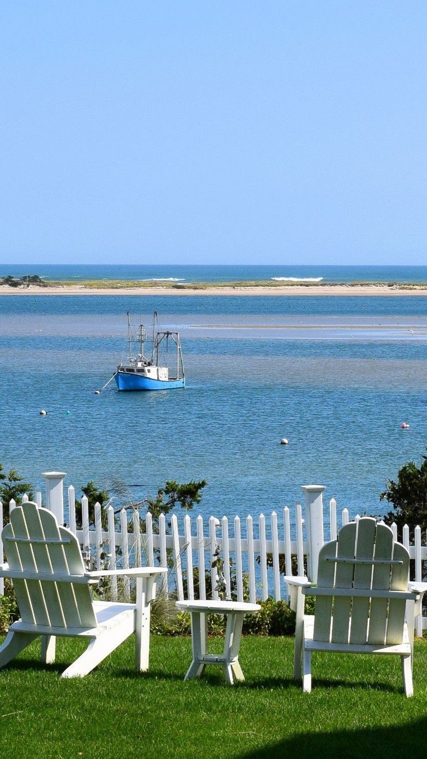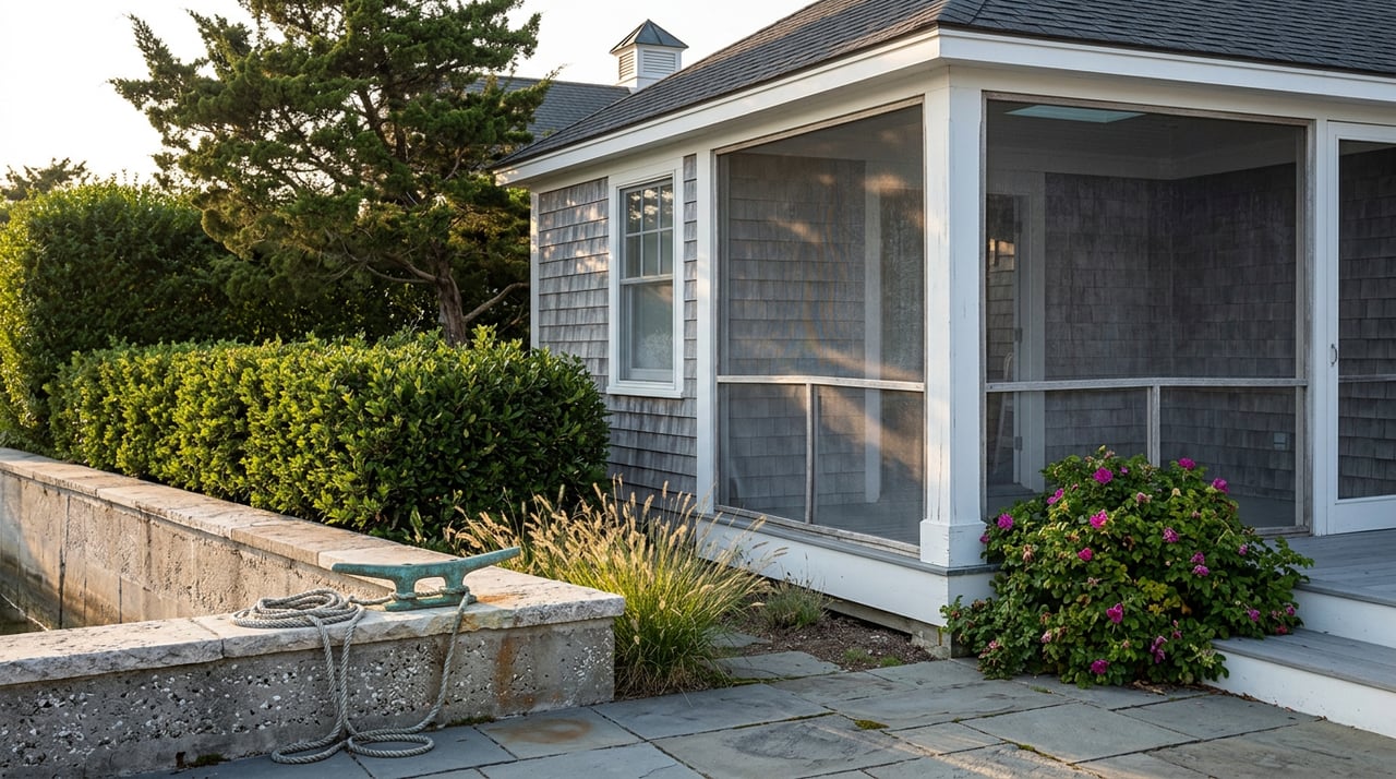
Start at Terrapin Nature Park on a summer morning and the ride east feels familiar even the first time you do it. Pavement under the tires, the Bay Bridge shrinking behind you, a mile or two of shade before the trail opens up near the ballfields. Six and a half miles later you're locking up a bike outside the Chesapeake Heritage and Visitors Center at Kent Narrows, ordering a crab dip within sight of the water, watching the same boats everyone else on the trail just watched too.
That's the Kent Island most people know, even people who've lived here for years. What most of them don't know is that there's a second paved trail on this same island, a few miles south, that has nothing to do with the one they just rode. It doesn't connect. It doesn't share a trailhead. And it leads somewhere the Kent Narrows crowd almost never goes.
The Trail Everyone Rides
The Cross Island Trail runs 6.5 miles from Terrapin Nature Park to the Chesapeake Heritage and Visitors Center at Kent Narrows, and it was never built just for recreation. Before it opened, Route 50/301 and Route 8 split the island in half, and getting from a neighborhood to the library or the grocery store meant getting in a car no matter how close it actually was. The trail changed that. It runs directly past Old Love Point Park, ties into Kent Island High School and two elementary schools, links the Kent Island Public Library, and passes the Kent Island Shopping Center and Castle Marina along the way. It's less a scenic detour than a second street grid, one you can walk or bike instead of drive.
The eastern end has grown since the trail first opened too. A 1.3-mile boardwalk and asphalt extension now carries the trail further east from Kent Narrows, running along the westbound side of Route 301/50 with open views of the Chester River, and it ties into the newer Cross County Connector Trail starting at Long Point Park in Grasonville. If you've ridden the trail in the last few years and felt like it kept going longer than you remembered, that extension is why.
The One That Doesn't Connect
Here's the part that surprises longtime residents as often as newcomers. On the south end of Kent Island, a separate paved path runs 5.8 miles along Romancoke Road, from Matapeake State Park down to Romancoke Pier. It is not a spur of the Cross Island Trail. It doesn't share a trailhead, a parking lot, or a mile marker with it. About half the route passes through woods, the other half sits out in the open without much shade, and if you want to ride both trails in one day, you're driving between them, not pedaling.
| Trail | Length | Endpoints | Connects to |
|---|---|---|---|
| Cross Island Trail | 6.5 miles (plus a 1.3-mile eastern boardwalk extension) | Terrapin Nature Park to the Chesapeake Heritage and Visitors Center, Kent Narrows | Schools, the library, shopping center, senior center, boat launch |
| Kent Island South Trail | 5.8 miles | Matapeake State Park to Romancoke Pier | Nothing else on the island. A standalone paved path along Romancoke Road |
The two trailheads on the west side, Terrapin Nature Park and Matapeake State Park, sit close enough to each other geographically that it's tempting to assume they're part of the same system. They aren't. Terrapin Nature Park itself is worth the stop on its own, a 276-acre park with more than three miles of walking trails, a wheelchair-accessible boardwalk, and a sandy shoreline with a straight-on view of the Bay Bridge. But once you've explored it, getting to the South Trail means getting back in the car.
What's Waiting at the End of the Quiet One
The reward for making that drive is a stretch of Kent Island that doesn't show up in the usual roundups. Near the south end sits the Kentmorr Restaurant, Crabhouse and Dirty Dave's Tiki Bar at 910 Kentmorr Road, right on the Chesapeake Bay side of the island rather than the Narrows side. That distinction matters more than it sounds. Kent Narrows faces the Narrows channel and the Chester River, a working waterway lined with marinas and dock bars. The Bay side, where Kentmorr sits, faces open water, the kind of unobstructed view that made Terrapin Nature Park's Bay Bridge overlook worth building in the first place.
A few minutes away, Matapeake Beach and Clubhouse at 2010 Sonny Shultz Boulevard gives the same stretch of shoreline a quieter, more residential feel, and further up Love Point Road, Maria's Love Point has been a fixture for locals under the ownership of Maria and Ed Peffly. None of these places are secrets exactly. They're just not on the route most visitors take, because most visitors take the Cross Island Trail, and the Cross Island Trail ends at Kent Narrows.
Stevensville's Own Institutions Skip the Narrows Entirely
The split shows up in how the island's own institutions are arranged, too. The Kent Island Yacht Club, at 117 Yacht Club Drive, hosts the Chesapeake Bay Motoring Festival and Concours d'Elegance each year, and it does that in Stevensville proper, not at the Kent Narrows waterfront district that gets most of the tourism attention. Historic Christ Church on East Main Street anchors the Kent Island Heritage Society's calendar, with its historic sites open the first Saturday of each month from April through November, an annual Kent Island Day picnic, and a new Heritage Center currently taking shape.
Meanwhile, the events built for visitors tend to cluster on the mainland side of the Narrows. The Chesapeake Bay Environmental Center in Grasonville, a 510-acre preserve, runs its Sea Glass Festival and hosts the Sultana Education Foundation's Turtle Paddle. Both are worth attending. Neither one is really a Kent Island event in the way the Motoring Festival or Kent Island Day are.
The dock bars get the tourists. The yacht club and the church get the town.
What This Looks Like Right Now
August on Kent Island still runs almost entirely through the Narrows side of that split. Boating season is in full swing, and the Kent Narrows Waterfront Village District keeps its restaurants staffed with live music through the summer, with regular sets at The Jetty, Red Eye's, Big Owl, Fisherman's Crab Deck, Harris Crab House, and Bridges. Head boats and charters still leave most mornings from Wells Cove Public Landing, where boats like the Island Queen, the Shirley B III, and the Miss Violet run trips from April through December, chasing rockfish, white perch, sea trout, and bluefish depending on the week.
None of that is going anywhere, and there's no reason it should. But the next time the Narrows feels a little too crowded for a Saturday, the other half of the island is sitting five minutes south, mostly ignored, with its own restaurant, its own beach, and its own trail that has never once touched the one everyone else is riding.
If you already call Kent Island home, you probably know one side of this split better than the other. If you're weighing whether this stretch of the Eastern Shore fits the way you actually want to spend a Saturday, that's exactly the kind of on-the-ground detail worth talking through with someone who rides both trails. Chesapeake Bay Properties works this island block by block, not just listing by listing, and a conversation costs nothing. Schedule a call whenever you're ready to talk specifics.